|
Aufstieg
|
480 hm |
| Tiefster Punkt | 938 m |
| Höchster Punkt | 1418 m |
|
Dauer
|
1:15 h |
|
Strecke
|
4,7 km |
212 | Jochberg Ost

Quelle: Kitzbühel Tourismus
Die Tour
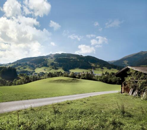
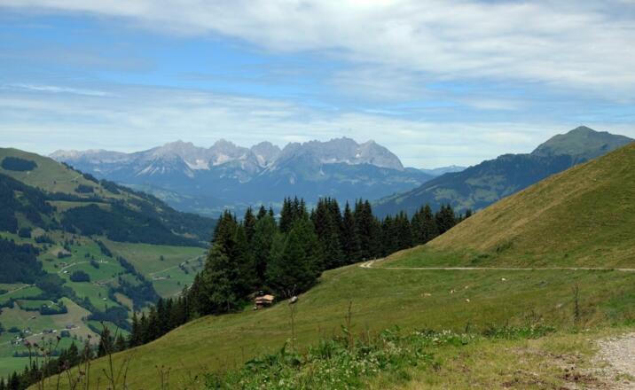
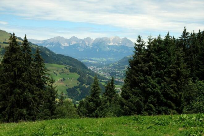
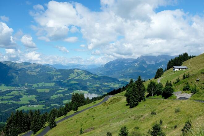
Die Strecke bietet einen herrlichen Rundblick auf Jochberg, ins Großachental und auf den Wilden Kaiser. Die Gesamtlänge dieser Route beträgt ca. 4,71 km mit knapp 478 Höhenmetern bergauf.
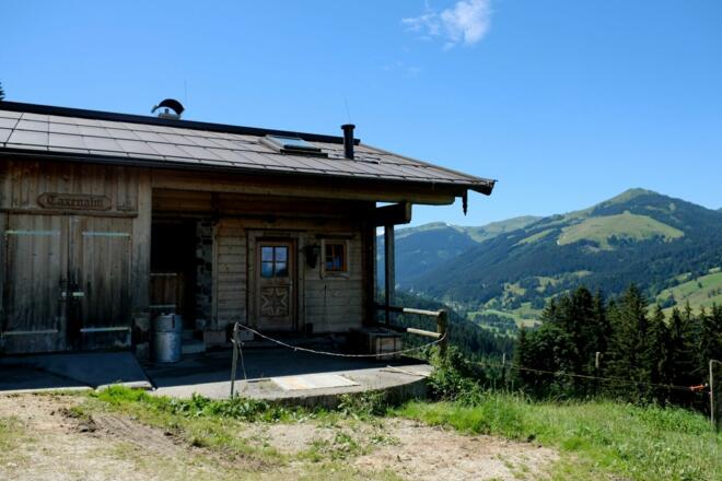
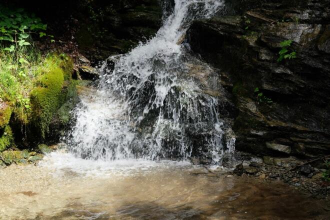
The starting point is a junction of the Oberhausenweg municipal road at "Taxen" at the foot of the Schützenkogel. From here we head uphill along the Ostweg, a gravelled forest path. The trail winds past sections of forest with rushing stream falls and alpine meadows. At two junctions, continue to follow the signposted trail of route number 212. Once the trail has passed the Taxeralm and Künstlalm and the destination of the Waldhausalm has been reached, all the effort is rewarded and we can enjoy a breathtaking view of the Kitzbühel mountains and down to the town of Kitzbühel in the valley with its holiday villages of Aurach and Jochberg.
Translated with www.DeepL.com/Translator (free version)
Info
Karte
Wegbeschreibung
Start
Jochberg-Taxen
Ziel
Waldhausalm / Talalm

