| Schwierigkeit |
leicht
|
|
Aufstieg
|
9 hm |
|
Abstieg
|
14 hm |
| Tiefster Punkt | 510 m |
| Höchster Punkt | 527 m |
|
Dauer
|
30 min |
|
Strecke
|
2,0 km |
Tourenplanung am 19.10.2022

Quelle: HANWAG GmbH
Die Tour
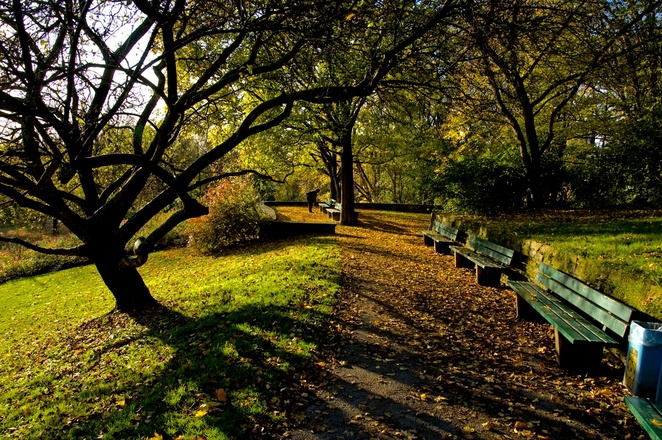
A short and quiet walk through one of the lesser-known parks in Munich.
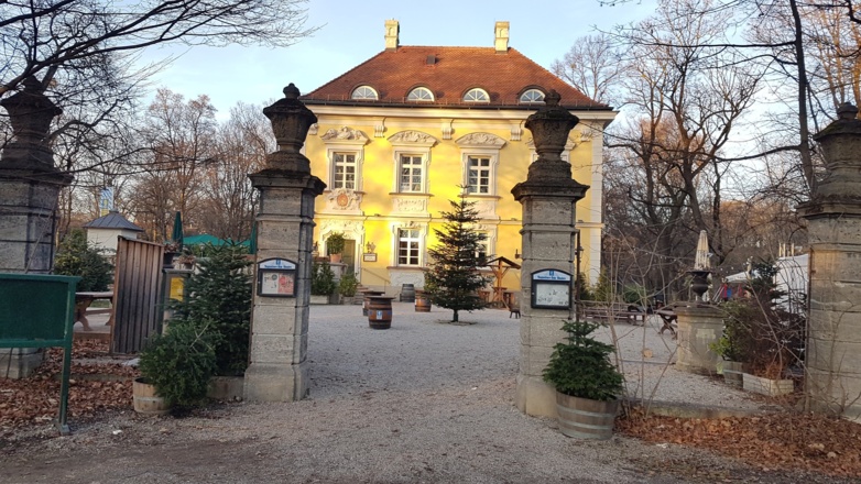
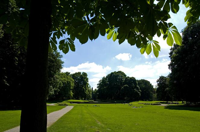
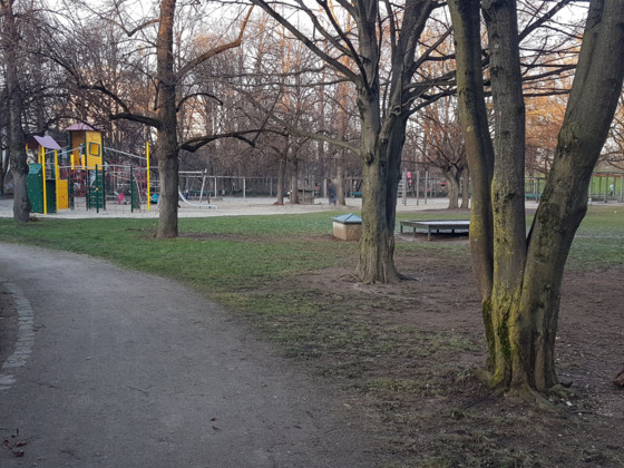
The Luitpold Park in the western area of the famous Schwabing district is comparatively quiet and ideal for families with kids, because of the nice playground around the Pumucklbrunnen, the winding hedge maze and the garden at the Bamberger Haus, where you can also get something to eat and drink.
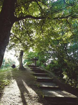
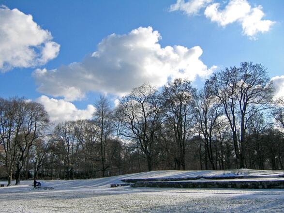
The route leads you to 37-meter high Luitpoldhügel, a former rubble mountain that was created from the bombed remains of the city after the Second World War. Today, from the top of the hill, you have a nice view of Schwabing, the former bohemian part of Munich.
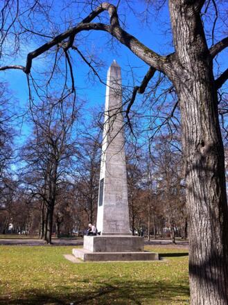
Interesting is also the obelisk at the center of the Luitpold Park: In 1911, on the occasion of Prince Regent Luitpold’s 90th birthday, the obelisk was erected. Around the obelisk 90 lime trees (according to the years of the regent's life) and 25 oaks (according to the years of his reign) were planted.
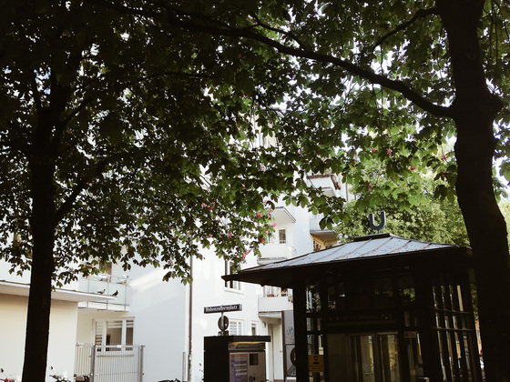
The route starts at the subway station Scheidplatz (U2/U3) and ends at the station Hohenzollernplatz (U2).
Autorentipp
There are many nice restaurants and shops around the Hohenzollernplatz!
Info
Karte
Details
|
Kondition
|
|
|
Erlebnis
|
|
|
Landschaft
|
|
| Technik |
Beste Jahreszeit
Wegbeschreibung
Start
subway station Scheidplatz (U2/U3)
Ziel
subway station Hohenzollernplatz (U2)
Weg
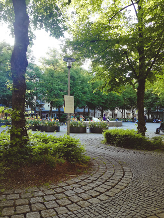
From the subway station Scheidplatz we walk directly to the Luitpold Park. Firstly, the short route leads us to the Memorial Cross, and up the Luitpoldhügel. We descend and pass the playground Pumucklbrunnen. We walk to the Obelisk and cross the Karl-Theodor-Straße towards the Bayernplatz. The Mittermayrstraße finally leads us to the Hohenzollernplatz.
Anreise
Öffentliche Verkehrsmittel
The route starts at the subway station Scheidplatz and ends at the station Hohenzollernplatz.

